


How Geofencing Can Help Protect Biodiversity in Highways
Protecting biodiversity is essential. It plays a key role in providing essential ecosystem services, such as pollination, nutrient cycling, and water purification. It also helps to mitigate climate change by storing carbon in forests, wetlands, and oceans. This makes ecosystems more resilient to environmental challenges such as floods and fires.
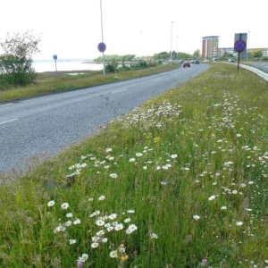
With over 700 animal species being protected in the UK under the Wildlife and Countryside Act 1981. This Act advises that you are breaking the law should you capture, kill, disturb or injure an European protected species, damage or destroy a breeding or resting place, or obstruct access to their resting or sheltering places. Disturbing a protected species can also include any activities that affects a group’s ability to survive, breed or raise their young or the species number or range in the local area.
As well as animals, there are 183 plant species that are protected in the Wildlife Countryside Act 1981. These are protected from deliberate uprooting, cutting, picking, destroying, or selling under Schedule 8.
How geofencing can protect biodiversity in construction
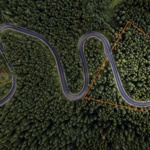
During the planning stages of a construction project, it is vital to consider the biodiversity of the surrounding area. This includes identifying areas of high biodiversity, such as wetlands, forests, and wildlife corridors. Geofencing technology can be used to identify these areas and to ensure that construction activities do not disturb them.
Using geofencing technology, teams can identify Sites of Special Scientific Interest (SSSI) and protected species of animal that may be affected by the construction project. This can help to reduce the risk of accidents involving wildlife and greenspaces, as well as protect important habitats and ecosystems.
- Using proactive alerts should field workers or plant approach sensitive ecological assets or environmental receptors.
- Automatic collection of records can be created to evidence compliance with exclusion zones
- Management of data collection for survey and translocation works
- Ensure people are in the right place at the right time
During the planning stages of a construction project, it is vital to consider the biodiversity of the surrounding area. This includes identifying areas of high biodiversity, such as wetlands, forests, and wildlife corridors. Geofencing technology can be used to identify these areas and to ensure that construction activities do not disturb them.
Using geofencing technology, teams can identify Sites of Special Scientific Interest (SSSI) and protected species of animal that may be affected by the construction project. This can help to reduce the risk of accidents involving wildlife and greenspaces, as well as protect important habitats and ecosystems.
By using geofencing and other techniques, construction companies can ensure compliance with environmental regulations, sustainability, and a positive impact on the environment.
In recent years, there have been multiple construction projects that have used geofencing to help protect the surrounding areas one of these projects include Lower Thames Crossing (LTC) who wanted to protect biodiversity in the area using geofences during their works.
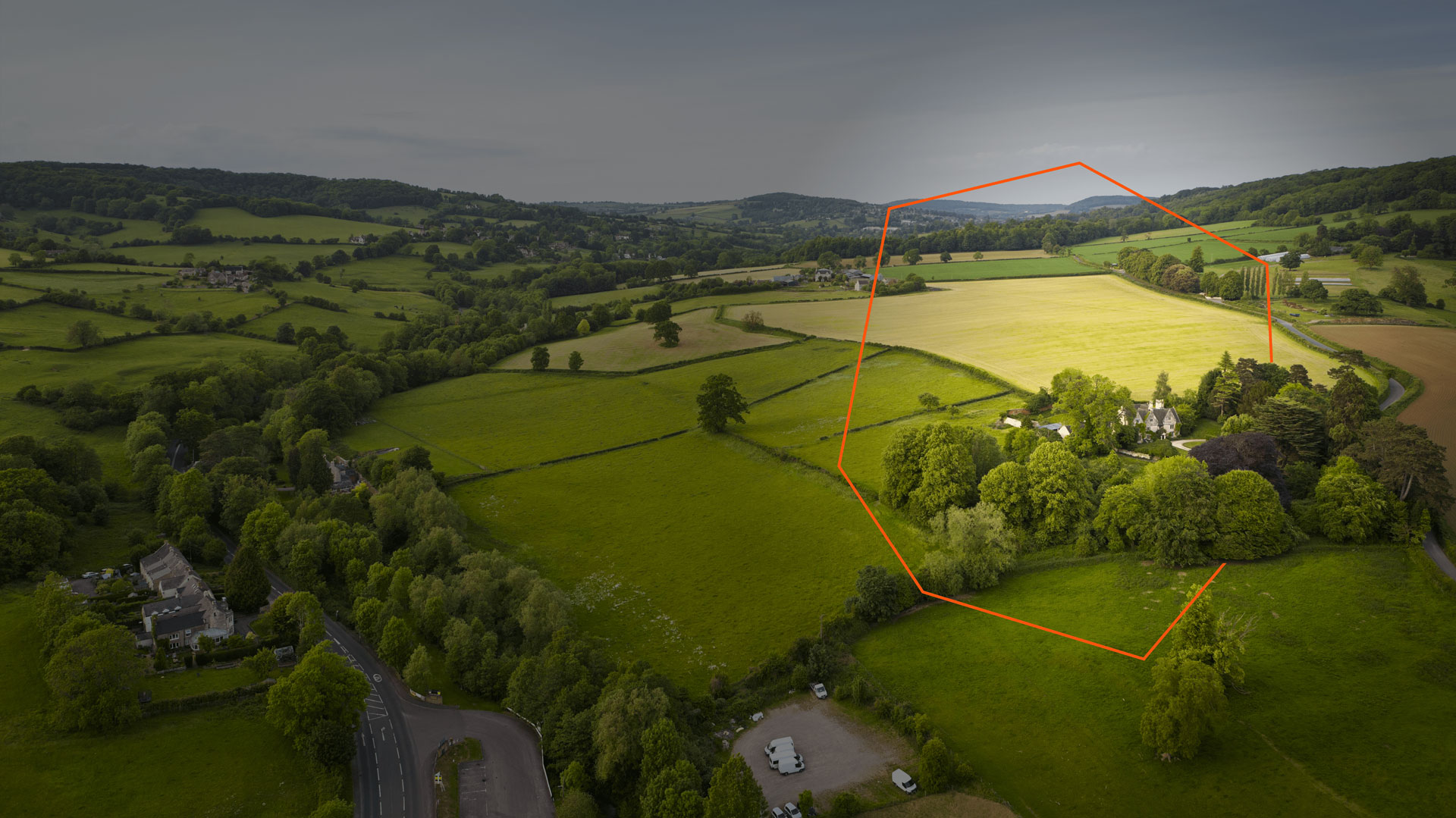
LTC was committed to protecting the local ecology, specifically protecting species like the Great Crested Newt and Water Voles, which are protected under environmental regulations. Onwave supported LTC in implementing a system of geofences around ecological habitats and assets. This approach ensured that the boundaries of these areas were clearly identified and understood, helping to prevent any unintentional disturbance to the habitat. The geofences also helped to highlight Site of Special Scientific Interests (SSSI), which are areas of land that are protected for their natural heritage. This helped to ensure that teams working on the project did not encroach on these areas without permission.
In addition, the geofences allowed Onwave to share accurate locations of ecological assets and habitat areas with other stakeholders. This information could be used to restrict access to these areas and to effectively control land access for people and plant in line with land agreements.
Here are some specific examples of how the geofences were used:
- A geofence was created around a colony of Great Crested Newts to prevent their habitat from being disturbed by construction activities.
- A geofence was created around an SSSI to prevent unauthorised access.
- The geofences were used to share the location of ecological assets with other stakeholders, such as ecologists and archaeologists.
- Geofences can be a critical part of a project commitment to protecting biodiversity.
Learn more about the LTC project here


