


How Geofencing Can Help Protect Biodiversity for Network Rail
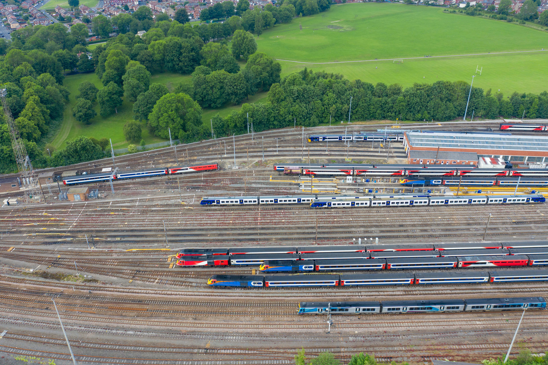
Network Rail is one of the largest landowners in the country, with 32,000 km of track and 52,000 hectares of land, protecting biodiversity is high on their list of priorities.
Their comprehensive Biodiversity Action plan has stated the following objectives:
- By 2024 – no net loss of biodiversity
- By 2035 – biodiversity net gain
- Production of a route state of nature report annually
“I want to confirm our commitment to valuing and enhancing nature alongside Britain’s railways.” – Andrew Haines, Varley Review
Using AI technology to identify biodiversity
Biodiversity in the UK has been declining quicker than other G7 nations – losing 50% its wildlife due to the expansion of urban and agricultural areas since the industrial revolution.
The UK state of Nature report from 2019 reports a 13% reduction in wildlife biodiversity since scientific monitoring began in the 1970s.
Network Rail has been working in collaboration with ZSL and Google utilising AI technology to monitor lineside biodiversity throughout the rail network. The trial of using remote technology which included cameras and innovative acoustic sensors has been successful with 35,000 data files captured by 33 monitors. Working collaboratively Google Cloud and the ZSL team successfully identified pockets of lineside habitats.
“ZSL intends to use the methods and tools developed during this project to help Network Rail monitor, understand and improve its impact on lineside biodiversity, with a focus on technologies which allow safe, rapid, remote monitoring,”
Omer Mahmood, Executive Sponsor ZSL Partnership, at Google Cloud
Geofencing for biodiversity - How National Highways are protecting the environment
“We have planned its (the Lower Thames Crossing) route and how we build it to not only reduce its impact, but leave a legacy of bigger, better connected, and well managed habitats that would give local wildlife and plant life the chance to thrive long into the future”
Matt Palmer, Lower Thames Crossing Executive Director
How to enhance situational awareness for track workers
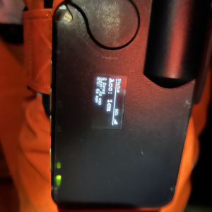
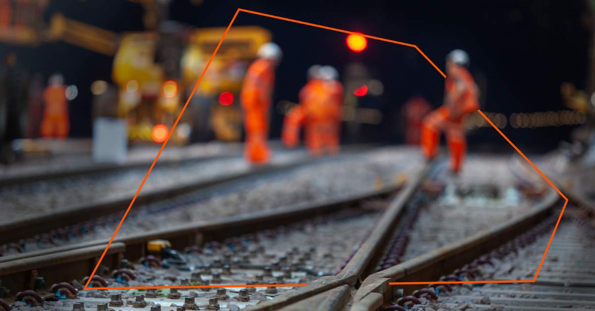
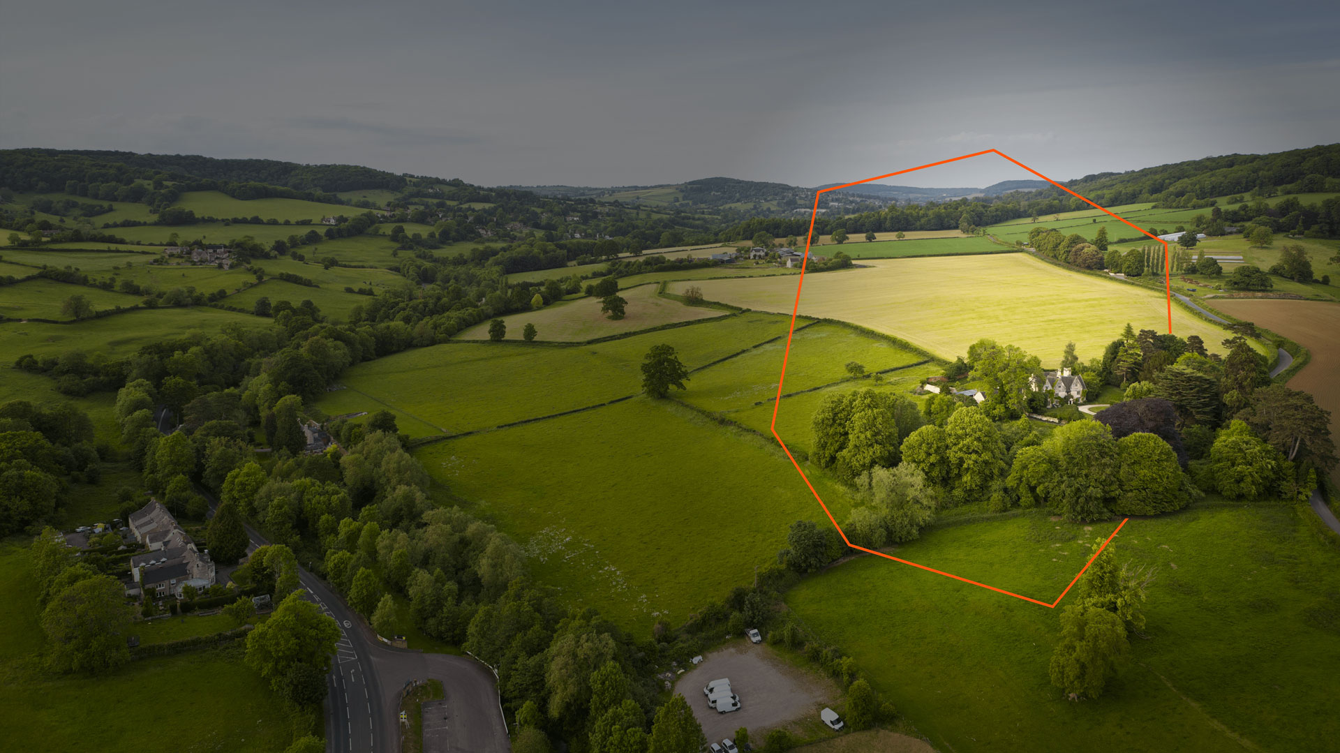
Wearable geofencing OWL devices can be worn by those working on or near Network Rail land, the devices set off an alert when individuals wearing them enter an area that has been marked and geofenced as home to wildlife, biodiversity, and protected species. This means that areas that have been marked as ‘protected’ are labelled as such – and can be viewed via the OWL portal and app. It would mean that those undertaking work on or near lines or on Network Rail-owned land would be given a tap on the shoulder should they enter a protected area warning them with a sound, vibration and light alert. Geofencing for Network Rail is already being trialled for track workers to alert them if they step into an area of danger, for possession planning, and for monitoring objects on the line, the use case for protection of biodiversity could be aligned with these safety use case. The success of this type of project can then be monitored by the ongoing monitoring work being undertaken by ZSL and Google Cloud.


